
1
Advanced navigation algorithms based on graph optimization
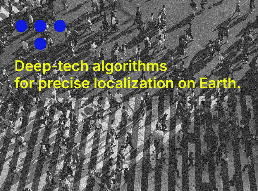
We are prime contractors for European Space Agency project Proof-of-concept of advanced navigation algorithms based on factor graph optimization. Our algorithms will make possible a more accurate and precise localization even in crowded cityscapes.

2
LoRa / LoRaWAN integrations
We research innovative integrations for LoRa / LoRaWAN networks for reliable solutions for disaster response, search and rescue and industrial needs.

LoRa / LoRaWAN intersections
hybrid communication
3
BucNav – the first dataset for uban canyon type simulations with data from urban areas in Romania
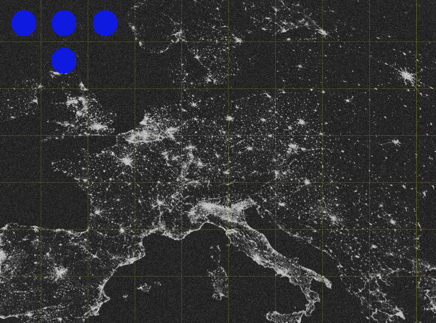
Similar to UrbanNav dataset, BucNav dataset is a specialized benchmarking resource used to evaluate positioning and navigation algorithms in highly urbanized and GNSS-degraded environments, commonly known as “urban canyons”.

BucNav dataset provides sensor data (such as GNSS and IMU) captured under challenging conditions in Bucharest characterized by frequent signal blockage, multipath effects, and rapidly varying satellite geometry.

To download the dataset
BucNav, drop us a line
Articles
-
Advanced Real-time Tightly Coupled GNSS/IMU Fusion
Navigating dense urban environments remains one of the most significant hurdles for autonomous systems due to GNSS signal blockages, multipath effects, and rapidly changing satellite geometry. In our research paper, “Real-time tightly coupled GNSS and IMU integration via Factor Graph Optimization,” we present a robust solution to these challenges. While Factor Graph Optimization (FGO) is